Advert
Advert

MSc Environmental Drone Remote Sensing

  • DeadlineStudy Details:

    MSc 1 Year Full Time

Course Description

This MSc programme teaches the knowledge, skills and understanding to create and utilise high resolution remote sensing data for real world, practical applications, using sensors flown on drone platforms.

Students will gain the skills, experience and knowledge to operate a drone safely and within current Civil Aviation Authority (CAA) regulations. This will comprise theoretical and practical flight training and assessment. This component will be taught in part by an external CAA accredited training provider and students will graduate with the additional CAA drone/UAV remote pilot competency accreditation: General Visual line of sight Certificate (GVC).

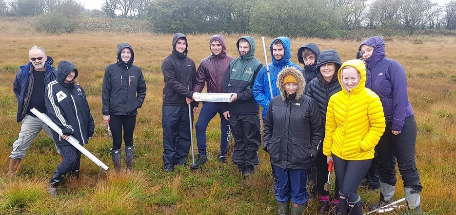
Building on these skills, students will learn the complete workflow required to capture and analyse remote sensing data from a drone platform, with a focus on environmental needs. This will include the knowledge and understanding for high quality image capture, flight design and planning, data collection and image processing.

WHY ENVIRONMENTAL DRONE REMOTE SENSING AT SWANSEA?

  • Top 201-250 in the World for Environmental Sciences (QS World University Rankings 2024)
  • 90% of our research outputs have been recognised as world-leading and internationally excellent – Research Excellence Framework (REF) 2021
  • 100% of the environment was rated as world-leading and internationally excellent – Research Excellence Framework (REF) 2021

Entry Requirements

Normally a 2:2 degree (with 55% average) in an approved subject.

Ask a question

Fees

For fees and funding options, please visit website to find out more.

Programme Funding

We offer a wide range of scholarships and bursaries for both taught and research courses to help you fund your study.

Student Destinations

This is a highly practical course that will equip you with skills and expertise that is highly sought after in our contemporary world. The drone industry continues to build every year. A small selection of jobs include:

  • Remote Sensing 
  • Climate and Vegetation Modelling 
  • Drone Photographer and Filmmaker
  • Precision Agriculture Surveyor
  • Geo-spatial Data Analyst 
  • Drone 3D Modeler 
  • Power Line / Infrastructure Developer 
  • Rooftop Inspector
  • Search and Rescue Team Member 
  • Drone Flight Instructor 
  • Geographer and GIS Specialist 
  • City Planner 
  • Mapping Professional 

Module Details

For module details please see here

Swansea University Campus

Where is Swansea University?

News stories

Videos

View Website

University Profile